This page is designed to share – between Club members, with other Perth(shire)-based runners and with visitors – the favourite runs of Perth Road Runners.
___
#1: TRAIL – 10 km – from Almondbank.
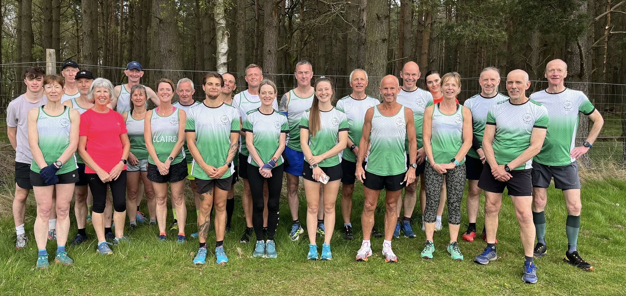
Quite technical in places, but lovely trail running. A couple of steep ramps, but nowhere too hilly. May get quite overgrown in the odd place towards the end of the summer, but even then, very runnable by the not-easily-deterred. Featured as a Club Social Run in May 2024, as pictured below…

Starts and finishes from Almondbank Post Office (although Pitcairngreen would work as an alternative).
___`
#2: TRAIL (verging into HILL) – 9 km – from Birnam.
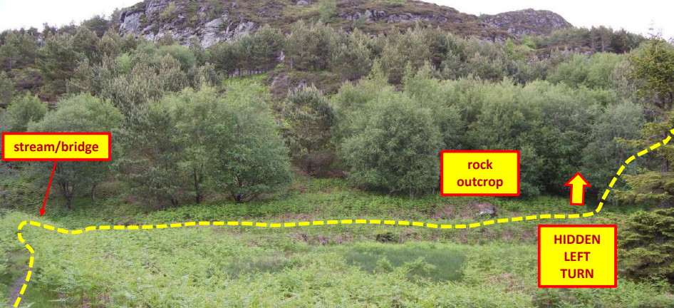
A run of two distinct halves: 1) a flat and scenic first 4km along the Tay between Birnam and Dunkeld followed by 2) a stiff climb up the road from Inver, through the Ladywell Plantation and down the Inchewan Burn (brilliant!) back to Birnam. This version starts out of Birnam at the eastern end of the village, but the run can be made fully circular at a cost of an additional 1.5m add to the route. Used for the 2022 Mob Match vs KRR. Features the excellent Bridge or Splash hazard …

___
#3: TRAIL – 9km – from Waulkmill (north of Perth Racecourse, on the E bank of the Tay, on the Stormontfield back road).
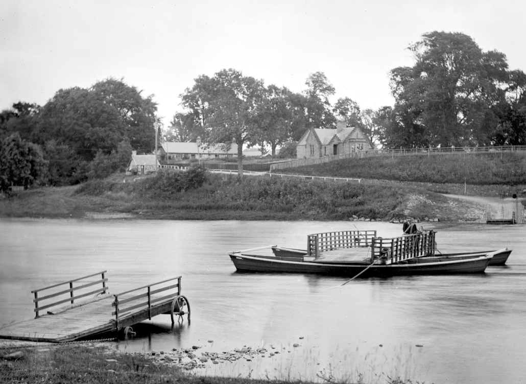
Lovely, scenic and largely flat trail running upstream from Waulkmill (site of old ferry, below) to turn round opposite Stanley Mills, and come back the same way. The first half of the outward leg follows the riverside path; the second steps slightly inland to follow an old ladeway upriver. The end of that second half twists, turns and undulates, and is fascinating running. It’s possible continue beyond (opposite) Stanley Mills upstream to join the Stormontfield road and return to Waulkmill on the tarmc, but this adds another 3km or so to the distance.
___
#4: ROAD – 8 km (exactly 5 miles) – ‘The Dron’ – from Kintillo (just S of Bridge of Earn).
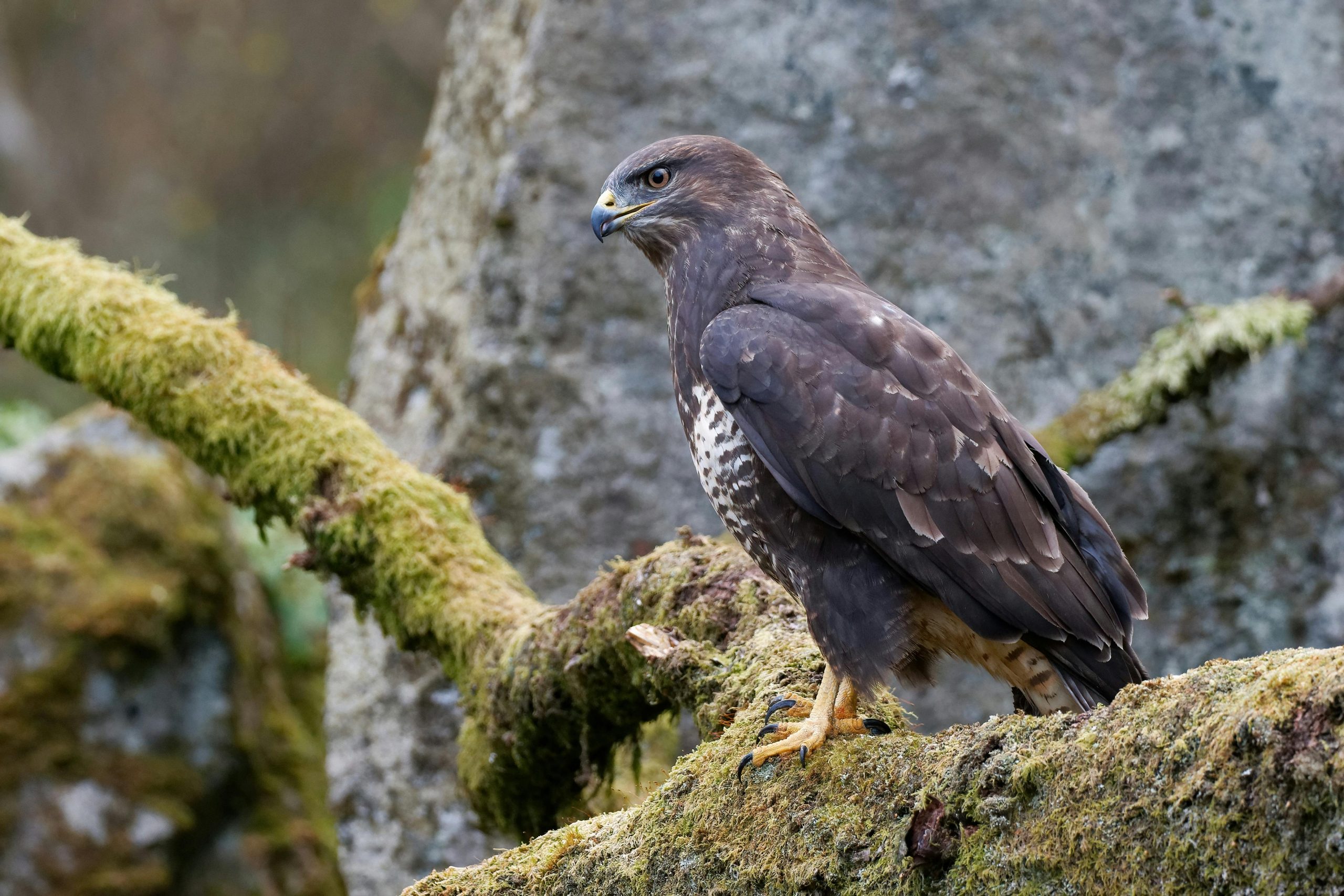
Classic, 5-mile road loop, very popular with PRR’s sizeable Bridge of Earn faction. Has a bit of a lump in it. Famous for its buzzards, apparently (although not ones with malicious intent, see #12).
___
#5: ROAD – 10 miles (16km) – Under The Sidlaws – from Campmuir.
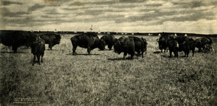
A 10-mile, fairly flat road course that was created for the 2021 semi-virtual Summer Series. There are some long, straight (desolate?) sections here that could easily have you believe you are not far from Wichita or Tulsa. But this is fine road running (for those that believe this exists), and is an almost-exact 10 miles. Also very light on traffic (save for tractors) but do make yourself obvious, as any cars are typically not hanging about on these roads.
Route instructions (please ignore parking location – suggest to park in Campmuir itself)
___
#6: TRAIL – 8 km – The Sidlaws Saunter – from Hallyburton car park (on A923 Coupar Angus-Dundee road).
This route came about in finding new, ‘internal’ routes for our Hills Are Alive series (rather than using externally-organised races). It proved to be surprisingly popular when used for the 2024 HAA series.

It climbs across moorland and valley to join the line of the spectacular Lundie Crags, before descending through forestry (some being cleared) to Ledcrieff Loch and back to the road. Wonderful views in all directions, but it’s very exposed in bad weather. It’s mainly trail running, but its main climb to the crags would class as a hill run for many. Total climbing is around 250m. Recommended.
___
#7: HILL – 7 km – Birnam Hill and the Inchewan Burn – from Dunkeld & Birnam railway station
This is a PRR version of the classic Birnam Hill Race (held each Spring). The classic race reaches the top of Birnam Hill and then heads left/down into the A9 corridor, making for an anti-clockwise loop (and something of a dull, roadside drag back to Birnam).
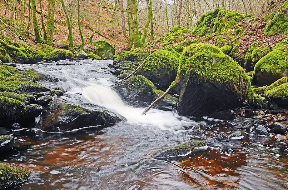
Our route, conversely, turns right/NW/clockwise from the summit to join the glorious Inchewan Burn (pictured, a feature shared with route #2 above) to descend back into Birnam. Note that the climb of Birnam Hill is widely described as “brutal” (also: adjectives more offensive than this), especially for its first km or so.
___
#8: ROAD – 10 km (exactly) – Tay Ten K – from the North Inch Community Campus/George Duncan track area
A route for those that want something flat, fast and tarmac-y. During COVID times, we used this course as a truncated version of our Tay Ten race – cutting it down from 10M to 10K – for an internal virtual race. Follows the Perth parkrun course up-Tay from the North Inch, then follows the River Almond (watch for: beavers and beaver damage) behind the Inveralmond Industrial Estate and then returns through it (the Ind Estate, not the river).
___
#9: TRAIL/HILL – 5 km (but with many variants) – Moncreiffe Hill and trail – from the Bridge of Earn side
Great hill and trail running on the south/Bridge of Earn side of Perth. Moncreiffe Hill also be approached from the Rhynd Road/Tarsappie/north side of the hill, and this is no bad running, but it misses out on better climbs and trails from that side. Great views from the summit and a myriad of trails off that climb the hill and traverse it at different heights. Shown below is a hill run – punchy climb, steady descent, and just 5km in length – used for the Hills Are Alive series in 2021. Maintained by Woodland Trust Scotland, like Ballathie Bluebell Woods (next run).
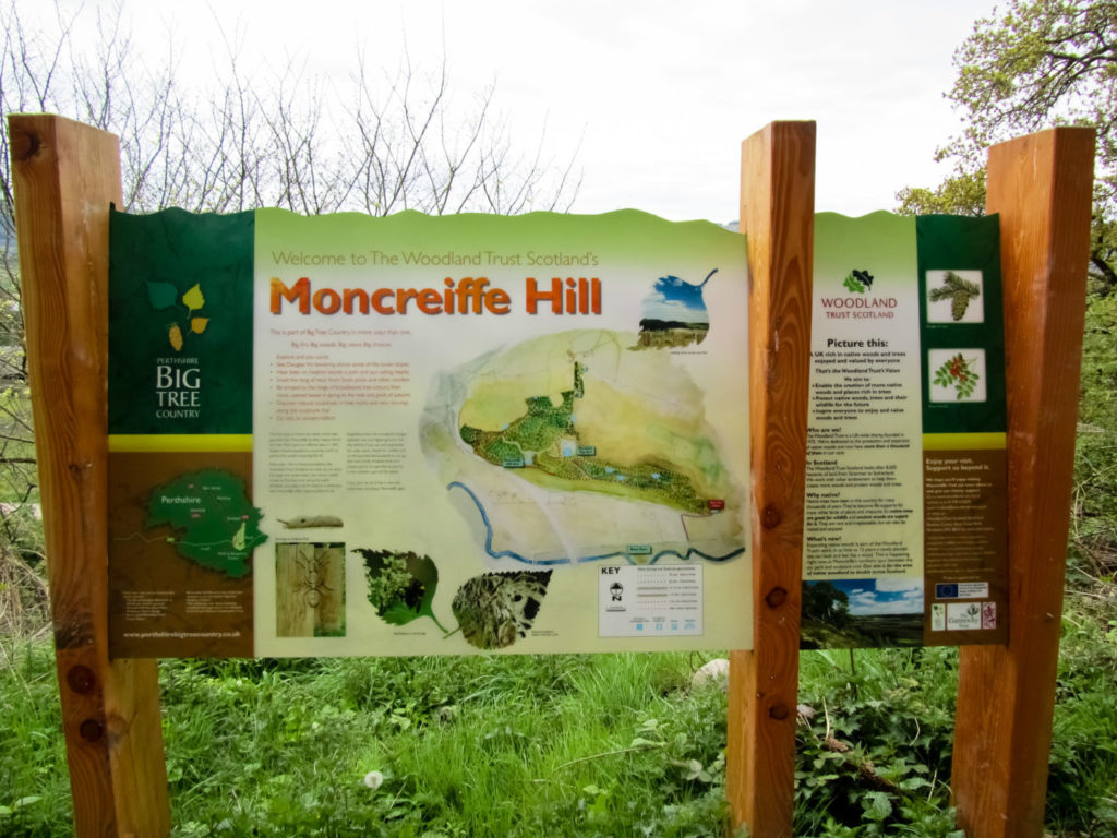
Woodland Trust guide to Moncreiffe Hill
Moncreiffe Hill trails guide (Woodland Trust Scotland)
___
#10: TRAIL – many course and distance variants – Ballathie/Kinclaven Bluebell Woods
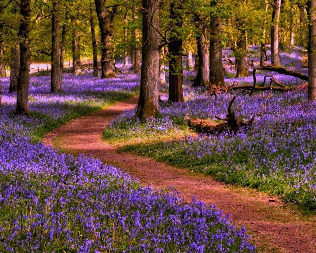
This is lovely trail running. Ballathie/Kinclaven Woods (like Moncreiffe Hill above) – 3km east of Murthly – is owned by Woodland Trust Scotland. Famed for its bluebell spectacle in May and June, it features many km of trails, both in the eponymous wood and on the newly-planted Court Hill. The wood features an excellent 2.75m undulating loop, featuring the stiff Hangman’s Hill, and various combinations of wood and Court Hill can be strung together to make a rewarding run. May soon feature as a Mob Match venue. Care is needed when running here to respect walkers, birdwatchers etc.
Woodland Trust Scotland trail plan
Confusion warning: the map in the above leaflet is upside-down, ie south at top!
___
#11: TRAIL/HILL – 9 km (with longer options) – Deuchary Hill from Mill Dam
The tract of land north of Dunkeld towards Loch Ordie offers superb trail running. Loch Ordie itself, whether approached from A9 corridor (at Guay or Dowally) or from the south (from the Cally car park or Loch of Craiglush) is a good 15km return trip at least (and further from the south), and can be tackled via a number of paths. The suggested route here heads towards Ordie without reaching it, instead climbing Deuchary Hill to its south; this offers a superb viewpoint over most of Perthshire and beyond.
Most of the loop is lumpy trail running, but the steep climb to (and descent) from the summit is definitely HILL classification. This is a shortened version of each spring’s Deuchary Hill Canter, and was first used by PRR in the 2021 virtual Hills Are Alive series. Note that you do first have to get to Mill Dam; this is 3km from the Cally car park (dullish trudge) or 2.5 km from the eastern end of Loch of Craiglush (much nicer, but some forestry work is currently in progress). Mill Dam is another great place to see beavers (cuddly) and/or how they can rapidly lay waste to an area of trees (not so cuddly).
___
#12: TRAIL – 9.5 km – Murthly Estate
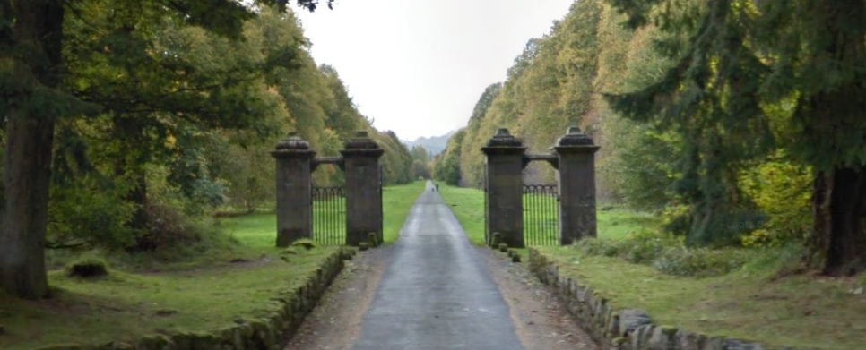
More brilliant trail running on a beautiful Perthshire estate neighbouring a particularly scenic section of the Tay. The owners take a very positive view to access, walkers and runners (dogs on a lead, mind). All of which led to it being used for the 2024 Mob Match. There’s a myriad of tarmac-ed estate roads (some wonderfully straight and flat) and trails of varying grades/technical levels that can be strung together in various combinations. Attached below is the suggestion route used for the Mob Match, making for a fine 9.5 km (with a high-octane last 1.5 km) …. but many other excellent options exist. Like route #4, noted for its buzzards, esp the one at Buzzard Alley (see map) that has shown a keen interest in runners (NB: not seen since July 2024; just sounding a note of caution…)
___
#13: TRAIL – Kinnoull & Deuchny Hills
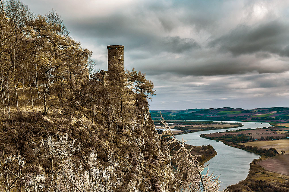
These might vie to be the most-run trails by PRRs: easy to get to, scenic, tough-but-not-impossible and with heaps of options. Hard to describe any one option for that reason, and exploration will pay dividends here. Used by PRR for our summer hill/trail interval sessions, broadly alternating between the Deuchny and Kinnoull sides of the road. Probably best accessed from the Jubilee car park (see PKC map below), but lower approaches (eg from Branklyn Gardens) are favoured by those looking for longer climbs. This approach is used by the famous Kinnoull Hill Race (run by Perth Strathtay Harriers), which is run each May.
PKC leaflet/map of trails ata Kinnoull and Deuchny Hills
Kinnoull Hill Race Strava segment/route
`___
#14: TRAIL – The Glenfarg Tunnels
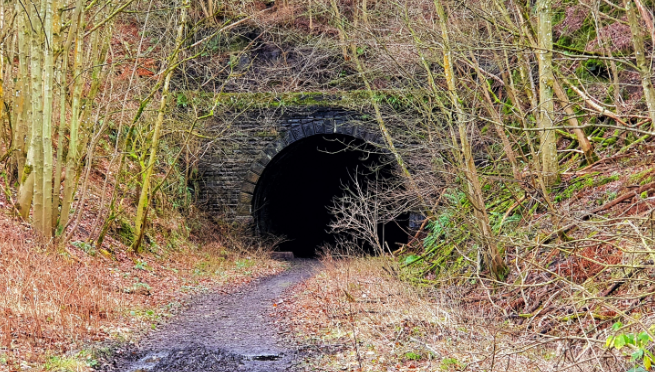
A different sort of trail run, this. Not popular with the current PRR Secretary, who states that the tunnel element of this run “gives me the fear“. Uses an old (NB: and disused) railway track from the The Bein Inn at Glenfarg and heads out through two longish tunnels. Both have points where the far end is not visible and a head torch is recommended for all but a) the fearless b) those with unbreakable ankles and/or c) bats. After the tunnels, there’s a stiff road climb back over the Ochils and a farm-y descent down a burn to the starting point. Quite wacky, quite fun.